Identification
Mission: STS077 Roll: 742 Frame: 5 Mission ID on the Film: STS77
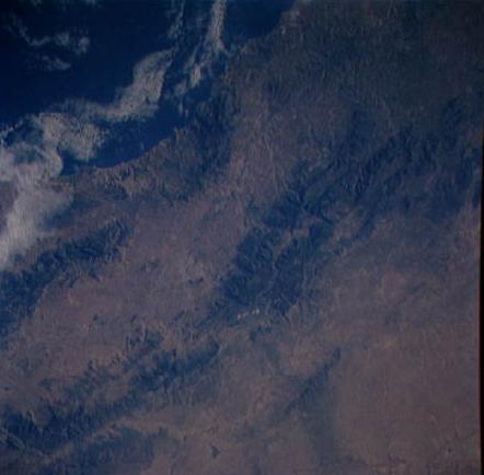
Country or Geographic Name: ALGERIA
Features: ATLAS MTS.,TLEMCEN,COAST
Center Point Latitude: 34.5 Center Point Longitude: -1.5 (Negative
numbers indicate south for latitude and west for longitude)
Stereo: Yes (Yes indicates there is an adjacent picture of the same area)
North:
ONC Map ID: G-01 JNC Map ID: 21
Camera
Camera Tilt: 27
Camera Focal Length: 100mm
Camera Look Direction: South
Camera: HB: Hasselblad
Film: 5046 : Kodak, natural color positive, Lumiere 100/5046, ASA 100, standard base.
Quality
Film Exposure: Normal
Percentage of Cloud Cover: 10
Nadir
Date: 19960527 (YYYYMMDD)GMT Time: 062539 (HHMMSS)
Nadir Point Latitude: 35.7, Longitude: -2.0 (Negative numbers indicate
south for latitude and west for longitude)
Sun Azimuth: 75 (Clockwise angle in degrees from north to the sun measured at
the nadir point)
Spacecraft Altitude: 150 nautical miles (278 km)
Sun Elevation Angle: 16 (Angle in degrees between the horizon and the sun,
measured at the nadir point)
Orbit Number: 126
Captions
No Captions Available. |