Identification
Mission: STS034 Roll: 71 Frame: CB Mission ID on the Film: STS34
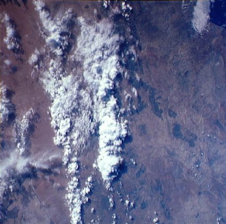
Country or Geographic Name: ALGERIA
Features: SIDI-BEL-ABBES,SFISEF
Center Point Latitude: 35.0 Center Point Longitude: -0.5 (Negative
numbers indicate south for latitude and west for longitude)
Stereo: No (Yes indicates there is an adjacent picture of the same area)
North:
ONC Map ID: JNC Map ID:
Camera
Camera Tilt: Low Oblique
Camera Focal Length: 100mm
Camera Look Direction:
Camera: HB: Hasselblad
Film: 5017 : Kodak, natural color positive, Ektachrome, X Professional, ASA 64,
standard base.
Quality
Film Exposure: Normal
Percentage of Cloud Cover: 45
Nadir
Date: 198910__ (YYYYMMDD)GMT Time: (HHMMSS)
Nadir Point Latitude: , Longitude: (Negative numbers indicate south for
latitude and west for longitude)
Sun Azimuth: (Clockwise angle in degrees from north to the sun measured at the
nadir point)
Spacecraft Altitude: nautical miles (0 km)
Sun Elevation Angle: (Angle in degrees between the horizon and the sun, measured
at the nadir point)
Orbit Number:
Captions
No Captions Available. |